

Patrol and vehicle location, geofences, events and control-room tools connected into one operational flow.
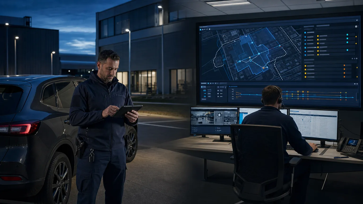 Patrol, vehicle and operations centre
CONTEXT
Context and objective
Patrols and vehicles operate across distributed sites and routes, often with intermittent coverage. Location, service status, passages through protected areas and events must reach the operations centre with enough context to be acknowledged and reconstructed.
SYSTEM
Architecture
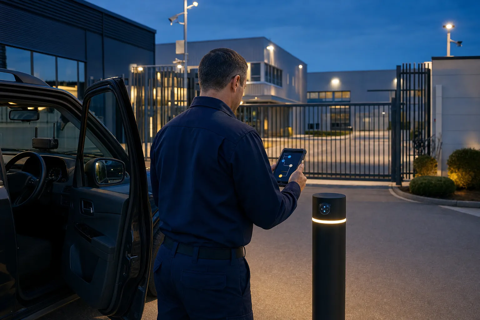
GNSS units installed in vehicles or assigned to personnel send location and status over the cellular network. Local buffering, secure ingestion, time series and geofence rules feed the operational map, event timeline, alerts and control-room integrations.
Devices and sensors
- Vehicle GNSS/cellular trackers
- Mobile or rugged operational device
- Status and event inputs matched to the service
- Local memory for periods without connectivity
Connectivity and protocols
- GNSS
- Cellular network
- HTTPS or MQTT over TLS
- Store-and-forward and integration APIs
Dashboards and operations
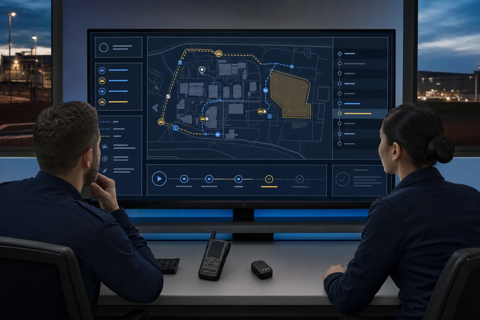
- Patrol and vehicle map and status
- Geofences, routes and checkpoints
- Events, alarms and acknowledgement
- Operational history and data export
HDA contribution
- Service-requirement analysis
- Device selection and configuration
- Cloud architecture and event model
- Dashboards, alerts and operations-centre integration
EVIDENCE
Outcomes and evidence
The project organises location, status and operational events into one flow while keeping intermittent-connectivity periods understandable. Access profiles, retention and escalation procedures are defined with the service operator.
TRUST
Role of Trusted Data
Device identity, timestamps, event integrity and access logs become concrete requirements when data supports operational accountability, passage verification or dispute handling.